
GEOGRAPHY OF THE AREA
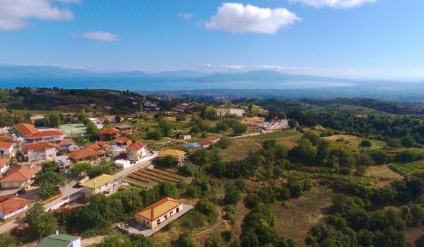
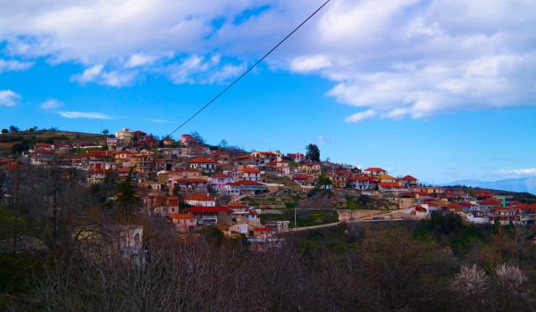
The village of Kryoneri is located in the geographical center of Corinth, at an equal distance between sea and mountains. It is built amphitheatrically, at an altitude of 740 meters and has a panoramic view of the Corinthian Gulf. Mount Vesiza (1,200 m.) is the natural border with the plain of Stymfalia. From this mountain springs the river Elissonas, which crosses Kryoneri and flows in the green plain of Vocha, before flowing into the Corinthian gulf, in the city of Kiato.

CLIMATE
The area is famous for its healthy climate and fresh air. Kryoneri was a holiday resort in the 50's and 60's, at a time when the beaches were not developed, due to mosquitoes and malaria. In fact, at a time when tuberculosis was on the rise, many patients were renting rooms to families in the village for the summer, precisely because the climate was excellent. Due to the fact that the beds in the houses were not enough, many lived in tents in the forest, outside the monastery of Lechova (1,000 m. Altitude).
Kryoneri is also known for its atmospheric and astronomical rare sky (location of the Kryoneri Observatory).
HISTORY
The village has been inhabited since ancient times, as shown by archaeological finds and especially the Mycenaean cemetery at "Panagia" with 9 royal tombs on three levels, right next to the modern cemetery, as well as the Mycenaean citadel, the Late Neolithic cave and the Byzantine monastery of Lechova.
The population has remained stable for centuries, showing how this fertile area is able to feed its inhabitants, thanks to the main crops, grapes (Corinthian raisin and sultanas) as well as olives for excellent olive oil.